- Home
- Groundwater Satellite Survey India
Groundwater Satellite Survey India
Ground Water Survey and Recharging Society has been working in the field of Ground Water Investigation (Borewell Point Identification) to detect underground Water for borewell and Open Well from past two decades.
We Aim at pinpointing Drilling Location for optimal Yield.
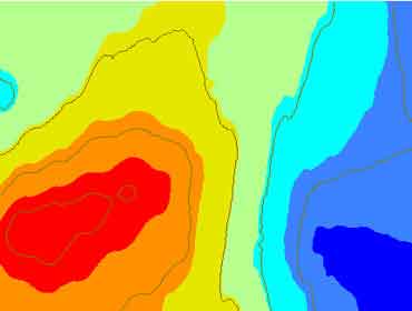
Borewell Water Identification is carried out Using Scientific Instruments like Resistivity Meter / GER DETECT Fresh Result / Niks Pro 200 / Geominax Nano 600 as per Site conditions.
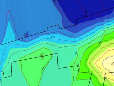
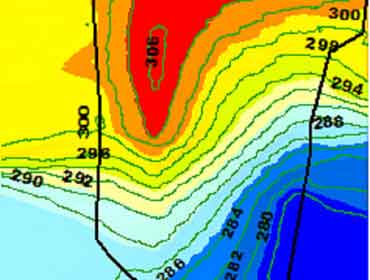
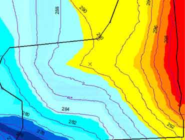
For Large Land Areas (in hectares) a Combination of Ground Water Satellite Surveys India and Instrumental Survey is performed to determine the underground water flow direction and Location of Borewells for Maximum Output.
By using latest high frequency based instrument and Interpretation Software’s We are able to conduct Underground Water Search Operations at lower depths of more than 1400 feet.
With a team of GIS Experts and Experienced Geologist we have Successfully Conducted Borewell Point Survey (Hydro geological and Geophysical Surveys) across India.
List of Clients We recently worked for :-
- 1) Texmo Pipes Bhuranpur
- 2) Renissance college Indore
- 3) IOCL Ratlam
- 4) Sonic Biochem Mandsaur
- 5) Graphite India Orissa
- 6) P and G Baddi
- 7) Vistara Projects Indore
- 8) Gabriel Dewas